
All articles
Using the Liegenschaftskataster and official Geoportals to confirm plot boundaries, easements and building‑lines
How to use Germany’s Liegenschaftskataster (ALKIS/Flurkarte), federal and state geoportals and municipal plans to check parcel boundaries, registered easements and legally binding building lines when buying property in Germany.
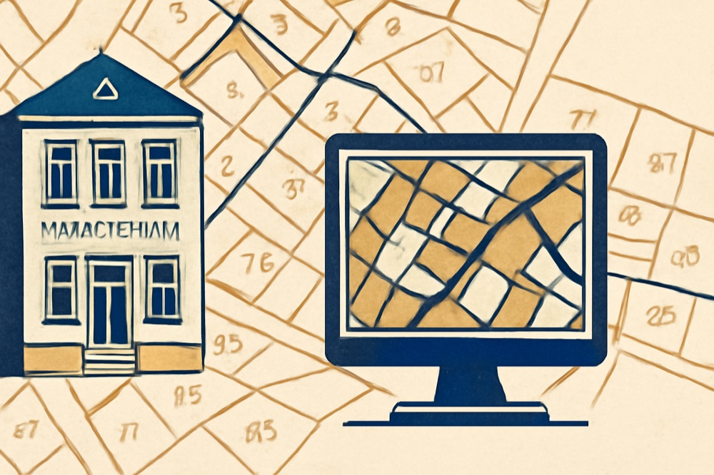
What the Liegenschaftskataster (ALKIS) and Geoportals show — and what they do not
The Amtliche Liegenschaftskataster (now managed in the ALKIS data model) provides the georeferenced polygons for every Flurstück (parcel), building outlines and related cadastral attributes. Bundes‑level products derived from those data (for example the Flurstücksinformationen Deutschland, FS‑DE) give nationwide, coordinate‑correct parcel outlines for mapping and basic checks, and these datasets are published through the federal and state geoportals. ([bkg.bund.de](https://www.bkg.bund.de/SharedDocs/Produktinformationen/BKG/DE/P-2026/260305_FS-DE.html?utm_source=openai))
Important: the cadastre (Flurkarte/ALKIS) is a spatial record and does not itself prove legal title or all legal encumbrances. Legal rights that affect ownership and disposal (for example most easements, rights of way, mortgages) are matters of the Grundbuch (land register). You must check the Grundbuch to confirm which rights are legally binding. ([gesetze-im-internet.de](https://www.gesetze-im-internet.de/gbo/BJNR001390897.html?utm_source=openai))
Step‑by‑step: what to look for online first
1) Find the parcel visually: open the relevant state geoportal or the national Geoportal Deutschland and search by address or Flurstück number. The displayed ALKIS layers show parcel boundaries, building footprints and often the Flurstück number (Gemarkung / Flur / Flurstück). Use the vector or parcel layer rather than a simple basemap for best accuracy. ([geobusiness2.rssing.com](https://geobusiness2.rssing.com/chan-60493023/all_p3.html?utm_source=openai))
2) Note coordinates and the Flurstück identifier. Copy the exact Flurstück‑ID (Gemarkung/Flurstück) shown — you will need it when ordering official extracts from the Katasteramt or when asking the notary to obtain a Grundbuchauszug.
3) Download or screenshot the displayed plan only as a preliminary check. Always follow up with official extracts (see next section): online maps are helpful for orientation but are not the legally decisive documents in a transaction. ([bkg.bund.de](https://www.bkg.bund.de/SharedDocs/Produktinformationen/BKG/DE/P-2026/260305_FS-DE.html?utm_source=openai))
What to order from officials (and who issues it)
A) Official cadastral extract (Auszug aus dem Liegenschaftskataster / Liegenschaftsbuch). Request this from the regional Kataster‑/Vermessungsbehörde (Landesvermessungsamt or local Katasteramt). The extract shows the official parcel outline, measured area and recorded parcel identifiers (these correspond to the ALKIS data). Use the Flurstück‑ID you noted earlier. ([berlin.de](https://www.berlin.de/sen/stadt/stadtdaten/geoinformation/liegenschaftskataster/alkis/?utm_source=openai))
B) Grundbuchauszug. The Grundbuch (land register) is kept by the Grundbuchamt at the local Amtsgericht and records ownership, mortgages and easements (Dienstbarkeiten). A complete title check requires a current Grundbuchauszug; these documents are issued only to entitled persons (buyer, seller, notarised representatives). In practice your notary will order the Grundbuchauszug and report the entries. The Grundbuchordnung contains the legal rules for entries and copies. ([gesetze-im-internet.de](https://www.gesetze-im-internet.de/gbo/BJNR001390897.html?utm_source=openai))
Building lines, Baulinien/Baugrenzen and Baulasten — where to look
Legally binding building lines (Baulinien) and buildable‑area limits (Baugrenzen) are set in the local Bebauungsplan (binding part of the municipal Bauleitplanung). Municipal planning pages and the B‑plan document itself show exact positions and textual restrictions; a Baulinie often requires a building to be placed on the line, while a Baugrenze marks the area within which buildings may be erected. Always read the B‑plan drawing and the textual regulations together. ([wiesbaden.de](https://www.wiesbaden.de/leben-wohnen/wohnen-bauen/bauaufsicht/bauberatung/bauplanungsrecht?utm_source=openai))
Baulasten (public‑law obligations recorded against a property) are not always visible in the Grundbuch. Because local practice varies, ask the municipal Bauaufsichtsbehörde or Katasteramt whether a Baulastenverzeichnis exists and request an official Baulasten‑Auskunft before signing. If in doubt, instruct a local surveyor (Vermessungsingenieur) to check encumbrances on the ground and to prepare a boundary plan for the contract.
Practical rules and risks for foreign buyers
1) Do not rely on screenshots alone. Obtain the official ALKIS extract and a current Grundbuchauszug before completion. ([bkg.bund.de](https://www.bkg.bund.de/SharedDocs/Produktinformationen/BKG/DE/P-2026/260305_FS-DE.html?utm_source=openai))
2) If the cadastral boundary differs from a fence or a visible hedge on site, order a survey and boundary determination (Grenzfeststellung) before completing the purchase.
3) Use your notary: German notaries coordinate ordering the Grundbuchauszug, check for burdens and—if necessary—record agreements such as boundary agreements or rights of way in the deed.
4) When a B‑plan applies, planning restrictions can limit works and value; read the B‑plan’s text and drawing and, for major projects, discuss status with the municipal planning office.
If you need certified checks, ask a German notary (Notar) and a local Vermessungsingenieur. This article is explanatory and not legal advice.
Nothing on this page is investment, tax or legal advice. Price bands are indicative asking prices and disagree between sources by design. Verify every figure with a qualified German notary, tax adviser (Steuerberater) or lawyer before committing capital.

